Hawkesbury Council has marked a significant milestone in its commitment to local wildlife by completing the first phase of its Koala Management Strategy. This initial stage centered on the development of Fine Scale Vegetation Mapping, a crucial tool for understanding the local environment.
The newly completed mapping provides an unprecedented level of detail by cross-referencing the Council’s existing maps with the Department of Planning and Environment’s Plant Community Type data. This intricate process, further validated through on-ground fieldwork, accurately identifies woody vegetation and specific plant types vital for local ecosystems. The detailed maps, presented to Councillors at their March 11th meeting, are expected to be a valuable asset not only for koala conservation but for various Council departments.
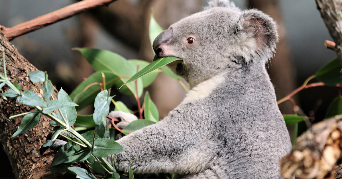
With this foundational mapping complete, the project now moves towards identifying specific koala food trees preferred in the Hawkesbury region. This requires collaboration and consensus among local ecology and koala experts. Their findings will be integrated with the vegetation maps to produce a map highlighting Highly Suitable Koala Habitat.
Future steps in the strategy include a Koala Occupancy Survey, the creation of a Core Habitat Map, and a Koala Corridor Assessment. This comprehensive approach aims to pinpoint where koalas live, their potential numbers, the habitats they rely on, and the routes they use to travel. Ultimately, all gathered information will inform a robust management strategy dedicated to the conservation and protection of Hawkesbury’s koala population.